Total Station Survey Instrument
Engineered for absolute reliability, this advanced total station survey instrument is the cornerstone of any modern civil engineering, construction, or land surveying project. By seamlessly blending robust, weatherproof hardware with intelligent onboard software, it allows professionals to handle complex spatial data collection effortlessly. Whether you are navigating dense urban construction sites or mapping remote terrains, this instrument delivers the precision and speed you need to get the job done right the first time.
Core Features & Advantages:-
- High-Speed Measurement Engine: Significantly reduce time spent at each setup. The upgraded EDM (Electronic Distance Measurement) fires rapidly, delivering precise distance and angle calculations in under a second.
- Extended Reflectorless Targeting: Capture data from inaccessible or hazardous points with ease. This total station survey instrument boasts a powerful reflectorless range, allowing you to shoot building facades, bridges, and deep trenches without needing a rodman.
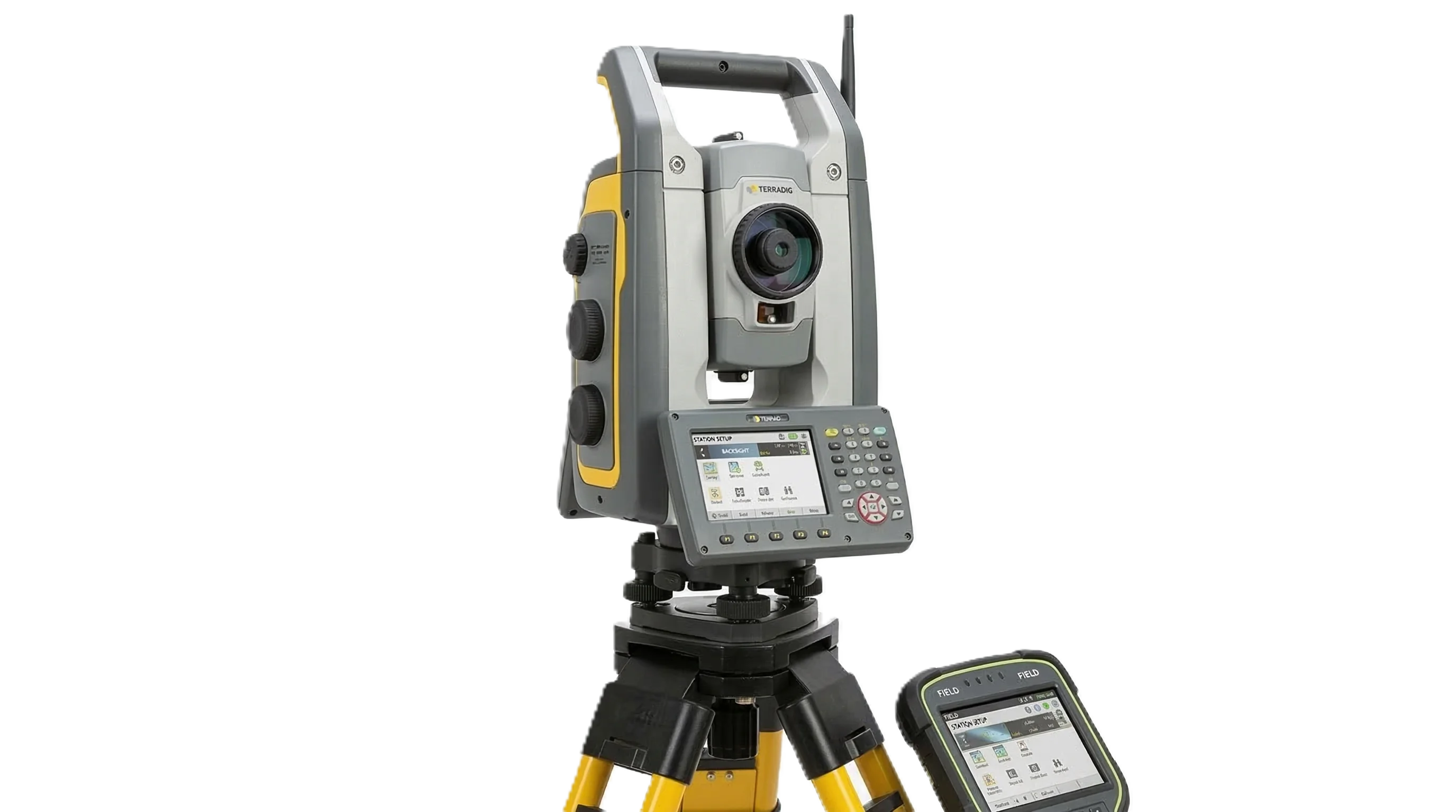
- Dual-Display Interface: Navigate menus, input job codes, and review measurements instantly. The instrument features back-lit, dual-side LCD screens with full alphanumeric keypads, ensuring easy operation from either face of the device.
- Effortless Data Transfer: Move your field data to the office without friction. With built-in Bluetooth, USB flash drive support, and RS-232C serial ports, you can easily export job files to your preferred CAD software or field controller.
- Built for the Elements: Surveying doesn't stop for bad weather. Encased in a rugged, highly durable housing with an IP66 rating, your instrument is fully protected against heavy dust, dirt, and driving rain.
- Precision Compensator: The built-in dual-axis liquid tilt sensor automatically detects and corrects even the slightest leveling deviations, ensuring your vertical and horizontal readings remain flawless on vibrating construction sites or settling ground.
Key Field Applications:-
- Cadastral & Boundary Surveying: Establish property lines and boundaries with legally defensible accuracy.
- Site Preparation & Earthworks: Calculate cut-and-fill volumes accurately for efficient heavy equipment deployment.
- Structural Layout: Pinpoint locations for columns, footings, and anchor bolts with sub-millimeter precision.
- Deformation Monitoring: Track shifting or settling in dams, bridges, and high-rise structures over time.